
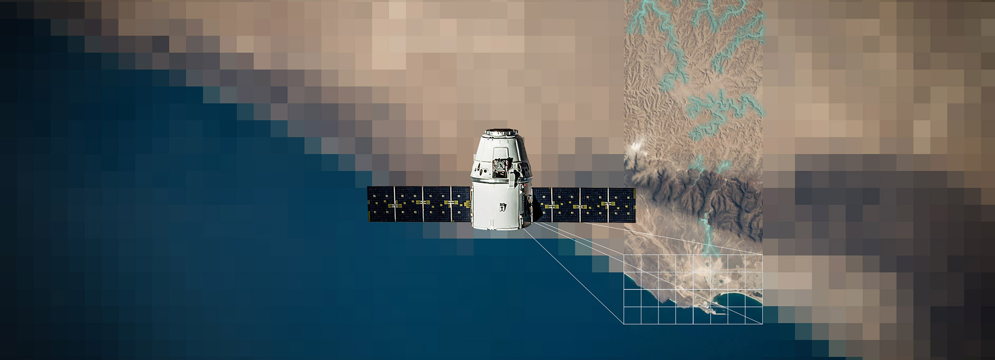
ANALYSIS OF SATELLITE IMAGES
Less time and less money for satellite image analysis
Satellite information services are gaining more and more attention and our product catalog with various use cases is constantly growing thanks to our customers. We provide a wide variety of analysis and map products that use satellite data as a basis. The example of NGOs shows what satellite images can achieve. Population assessments, flood analysis and other on-site analysis are obtained from this data in order to be able to provide targeted help to the affected population in crisis areas.
Technically and methodologically up to date
Customer requests include a wide variety of requests for information. First and foremost is the information from NGOs on the affected population, which can be deduced from the number of buildings, huts or tents. Maps of flood areas, which can be easily mapped using satellite images, are often also required. The mapping of environmental resources and their changes is a classic field of activity in remote sensing and a topic that is also of interest to Médecins Sans Frontières projects, for example to gain information about the distribution areas of mosquitoes. A small proportion of the inquiries relate to the detection of destroyed buildings. However, often only a current satellite image without analysis is ordered, which is used for standard maps.