
3D MODELS FOR SPATIAL ANALYSIS
High resolution drone images for professional 3D evaluation
High resolution drone images for professional 3D evaluation
Surveying from the air using a UAV – Unmanned Aerial Vehicle, also called a drone, is the modern way of surveying and creating very accurate digital 3D models. By using modern drone and camera technology, high-resolution aerial images can be recorded from which 3D models of an object or a landscape can be calculated.
What we offer
- Creation of a digital terrain model with up to 1cm resolution
- 3D models of buildings such as of cultural goods, landfills, buildings or industrial plants
- Extremely high-resolution aerial images
- Orthophotos
- Classification of surfaces (buildings, vegetation, bodies of water, etc.)
- Agricultural analyzes
- Virtual reality
- … and much more
If you want to know more about our service, you can contact us directly.
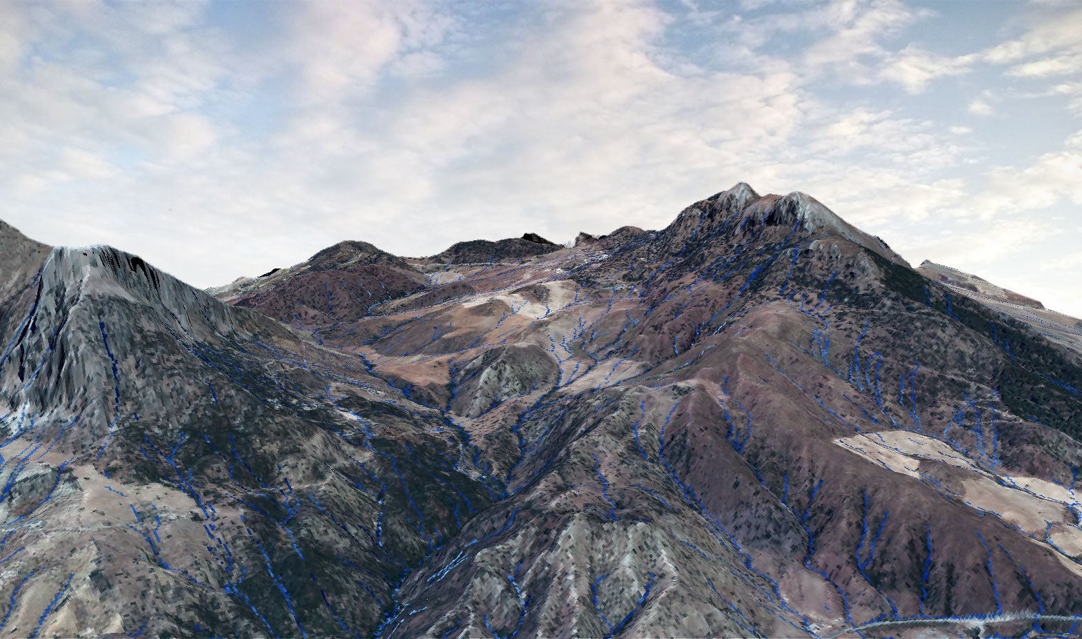
DTM – Digital Terrain Model
We offer DTM – Digital Terrain Models with a resolution of down to 1cm. This makes it possible to classify surfaces (buildings, vegetation, bodies of water, etc.) for landscape, architectural and agricultural analyzes such as runoff models.
Example of a flight
For privacy reasons YouTube needs your permission to be loaded.