GEO-SOCIAL-MEDIA
Geographic analysis of social-media data
In recent years, data from social networks such as Twitter has become a widely used basis for geospatial analysis in a number of application areas, including disaster management, public health and epidemiology, urban planning, traffic management, crime analysis and others. We can also add these spatial components to these social-media analyzes. This brings significant advantages to the analysis and helps our customers save money and gain a quick overview of the booming field of social-media.
Technically and methodologically up to date
While early research efforts focused on simple analysis using traditional methods, more recent research has developed more complex approaches, including self-learning systems such as artificial neural networks (ANN), semantic topic models for machine learning, or real-time analysis algorithms.
Due to the rapid development of social media analysis, the data analysis methods have become more robust and the results have become more reliable. Geosocial networks, in turn, are now recognized as a high-quality data source that supports the investigation of real problems and the subsequent decision-making. This development has been fueled by the dramatically increasing availability of social media posts around the world, especially in urban environments. As a result, we have seen extensive analytical efforts that examine urban processes with a remarkably high spatial and temporal resolution.

Relief and relief organizations experience a phase of chaos and disinformation in every crisis situation. The longer it takes to overcome this phase, the more resources have to be used. It is therefore in the humanitarian but also economic interest of every relief and relief organization to have funds available that can convey a quick picture of the situation.
Spatial social media analyzes can help to get a real-time picture of the situation. Postings and tweets are often placed with the user’s position so that content and position can be related. Freely accessible messages on Twitter are evaluated using methods of machine learning and geostatistics. Critical phenomena can thus be spatially clustered. In addition, the spatial spread is modeled, which is of interest in a large-scale forest fire or in an epidemic, for example.
In cross-border crisis situations in particular, spatial social media analyzes can be an essential aid for relief and relief organizations, since there are no restrictions on the disclosure of the information obtained. The data used are freely available. This means that the method chosen is particularly suitable for relief and relief organizations that operate across borders and are independent of the government.
The refugee movements in 2015 and 2016 came from Syria to Central Europe via the Balkans. The refugees were at least several weeks away to cover the distance. Nevertheless, it was often the case that the daily arrival numbers at the German-Austrian border could hardly be predicted. Such uncertainty ties up resources that are constantly busy with the assessment of the situation. These resources are used at every internal border or in the crisis team of the respective country. The less than satisfactory assessment of the situation will frustrate employees in relief and relief organizations, and even human lives may depend on the poor planning of operations as a result. In addition, given the precarious situation, the public will have doubts about the performance of the security authorities.
Spatially based social media analyzes are very well able to estimate refugee movements. Predictive site planning is therefore considerably easier. Taking these analyzes into account does not require any special training or previous knowledge. Therefore, spatial social media analyzes can reduce the personnel costs for monitoring the situation.
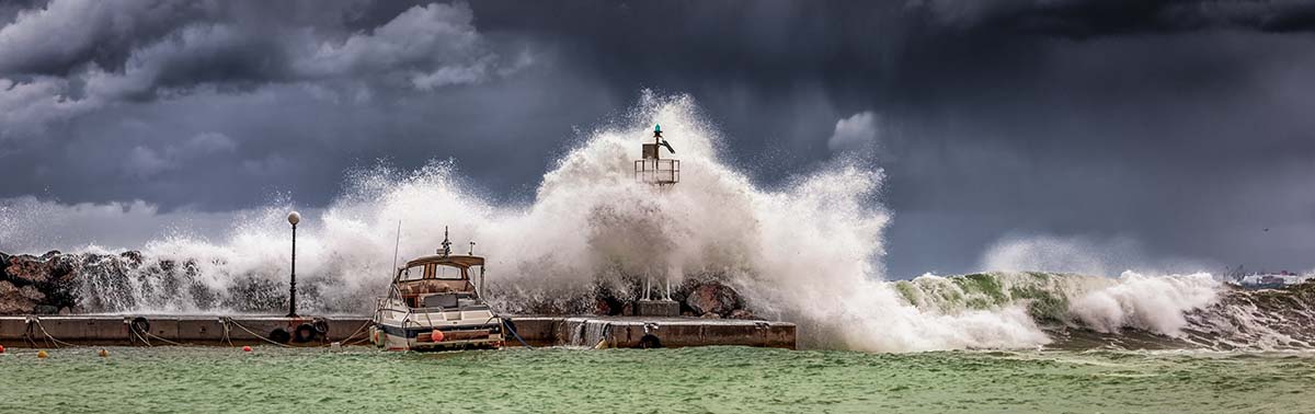
The spatial analysis of social media is also useful for natural disasters such as earthquakes or large-scale forest fires, as the situation is diffuse, especially at the beginning. The analysis of reports from observers and residents on social media can improve understanding of the spatial extent of a disaster. A corresponding study was successfully carried out in 2014 during the earthquake in the Napa Valley in California.

The spread of an epidemic can also be modeled using spatial social media analysis. Already today, relief and relief organizations are supplied with the results of these analyzes: Tweets related to Covid-19 are visualized accordingly on a map. In addition, lists with tweets that relate to a defined region are created to enable targeted access to particularly meaningful tweets. Statistical methods are used to analyze the outbreak and the further forecast.